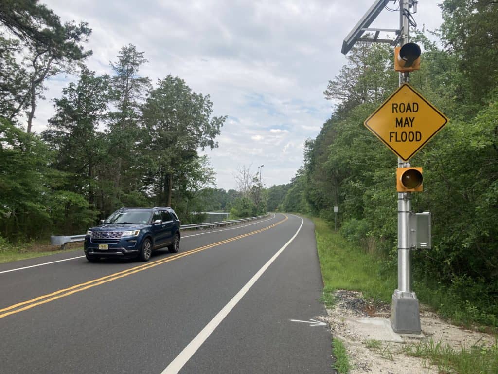

The Burlington County Commissioners have made driving safer in rural Washington Township by deploying a new flood notification system to alert motorists about possible flood conditions on a stretch of county highway near the Mullica River.
The state-of-the-art system was installed earlier this spring on County Route 542, near Crowley Landing in Wharton State Forest. The two-lane highway, which is also known as Pleasant Mills Road and Batsto-Bridgeport Road, runs near the Mullica River and is prone to flooding during severe storms.
More than 1,200 vehicles travel the road daily, according to an August 2019 traffic count.
The alert system uses a flood gauge installed on the riverbank. When water levels start to rise close to flood level, the sensor activates flashing amber lights attached to nearby “Road May Flood” signs to alert approaching motorists on the road of the possible flood danger.
“Public safety is our No. 1 responsibility, and this new flood notification system adds an extra layer of it to County Route 542,” said Burlington County Commissioner Deputy Director Tom Pullion, liaison to the Department of Public Works. “Flooding in this area and other parts of the county is not something we can control or prevent, but we’ve looked for ways to improve our response plans for when it does occur. This alert system is a good example of the steps we’ve taken.”
Pullion said the County Route 542 alert system activated and worked effectively during a recent severe storm and that the technology is being considered for other County roads prone to flooding. The County maintains more than 511 centerline miles of roads, plus a total of 364 bridges and 700 culverts.
The U.S. Centers for Disease Control and Prevention lists floods as the second deadliest of all weather-related hazards in the United States and accounts for approximately 98 deaths per year, mostly due to drowning. Flash floods associated with tropical storms result in the highest number of deaths, according to the CDC.
“The message ‘turn around, don’t drown’ is something we emphasize when talking to people about flood dangers,” Pullion said. “As little as six inches of moving water is considered dangerous because it can cause a vehicle to lose control or stall. A foot of water will float many vehicles and can carry them away. The alert system is there to notify motorists of the potential danger ahead, and we encourage motorists to heed that warning and avoid driving through any floodwaters.”


